
When you hear the words ‘cultural landscapes’ what comes to mind?
This is what comes to my mind most readily
Perhaps because this is what I first thought of as a landscape. When you think of landscape artists – John Constable, Fredrick McCubbin, Sidney Nolan, Condrad Martens and of course Fred Williams (landscape with a goose, sapling forest), you might think of trees and hills, with maybe a person, maybe not. Then there’s Daisy Helen Tjupantarri Ward, Dorothy Napandardi and a long, long list of Aboriginal artists who paint the landscape in the tradition that non-Aboriginal people recognise, but who also paint landscapes that are coded, with meaning that must be explained to the uninitiated. Non-Aboriginal Australians are becoming more familiar with works like those created in styles that are more akin to the traditions of the artists’ homeland.
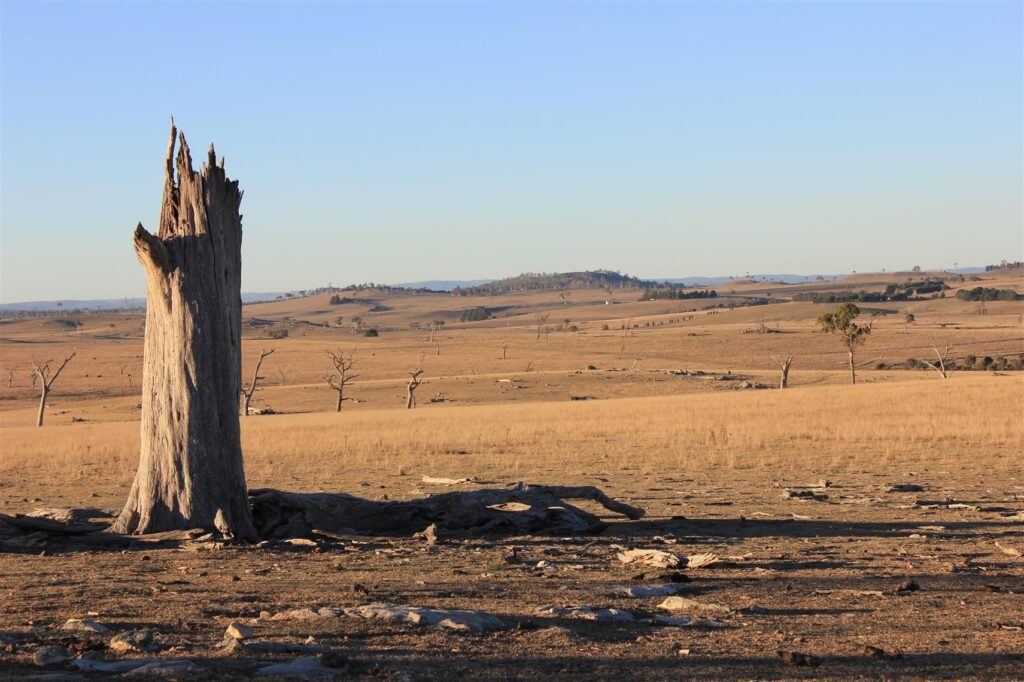
In this first picture we have gently rolling hills, like waving lengths of fabric; a dead tree in the foreground, hills in the background and in between incised gullies and creek beds. In the middle distance a shed, and in the clump of trees is probably a house. This little group of structures was made with human hands. The trees surrounding the house were probably planted 60 years ago, as were the windbreaks. They are cultural.
The trees in the foreground and middle distance are, or were, native. Dieback. But more native trees can be seen in the distance in the gully. Even a long time ago, when this area was covered in open woodland – dominated by Eucalypts and Angophora, with a forb and grass under-storey and was ‘natural’, it was cultural.
In the foreground the stone outcrop is silcrete. Behind me, in the silcrete, there are grinding grooves. Somewhere in this photograph, there is probably an archaeological site – maybe within the clump of trees before the newer house was built and maybe closer to a creek. If you look hard enough, you can see these things.
Then there’s the invisible – the hills in the distance may have been formed by a sleeping girl, or a pair of friends hiding from a kestrel – the intangible. It isn’t the result of the millions of years of geological activity and erosion that we believe has formed this continent.
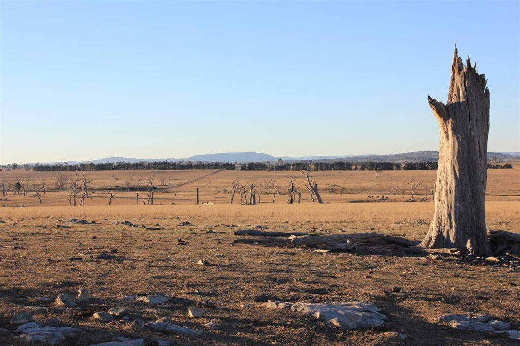
Photo 2 is the same stump but capturing the horizon to the west, although the view is north. The landform in the distance is important to the Aboriginal people of the region. It’s a natural landform and its significance is intangible. I’m not at liberty to say what it is, but that isn’t important for this piece. These landscapes are easy to distinguish for heritage consultants and many others besides. They might not see the value in them, but they can see them.
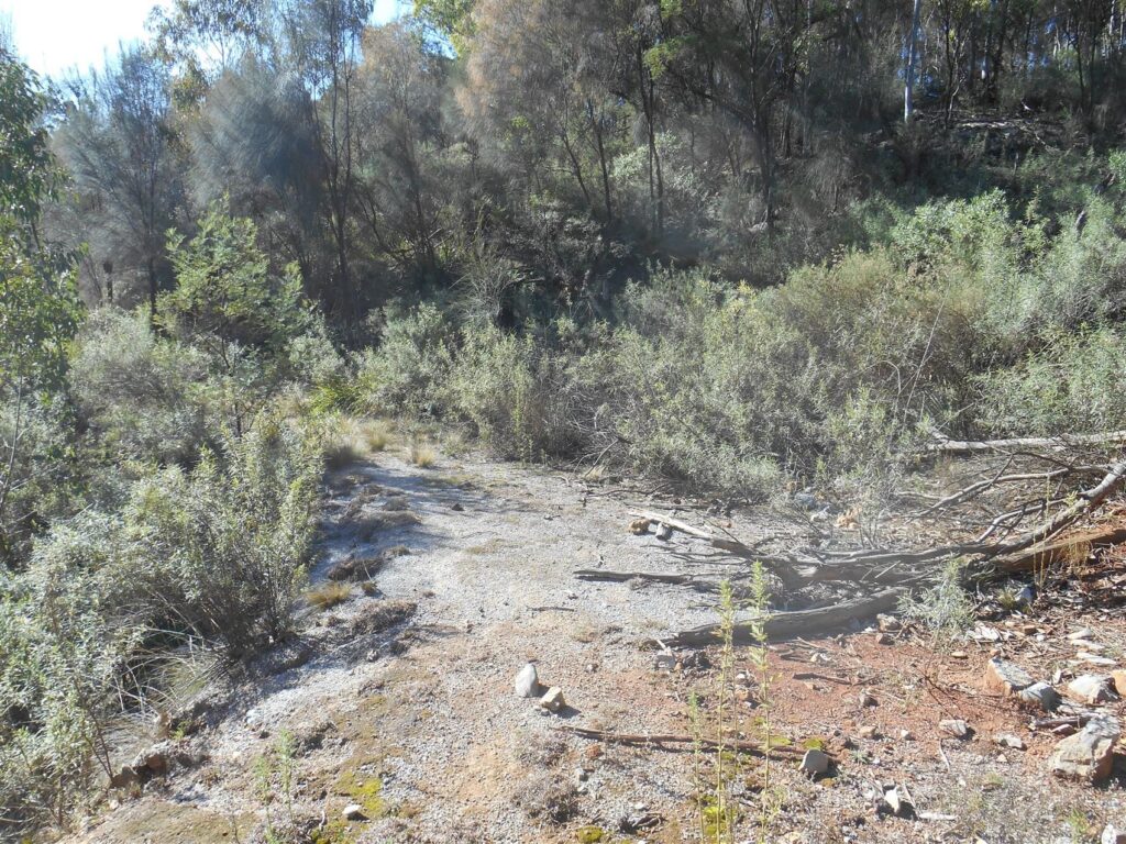
But what about this? Clearly, it’s a track. But in the 1880s to the early twentieth century it was a road that carried heavy bullock-drawn vehicles from a town to an industrial area and back again. It’s on private property but if you could walk it, it would take you from the industrial area, to a newer alignment of that same road, but that has not been used for many years. The newer road is sealed with bitumen and crowded by tall eucalypts and small ferns, but it is recognisable as a road. The kind of road that I’d want to walk down to see where it takes me. I could look at an old street directory or an old aerial photograph, but its not nearly as satisfying if you like walking and looking.
These old roads form a small network that was used not only by the people that worked their little mine lease, but by people who lived there to work their little mine lease.
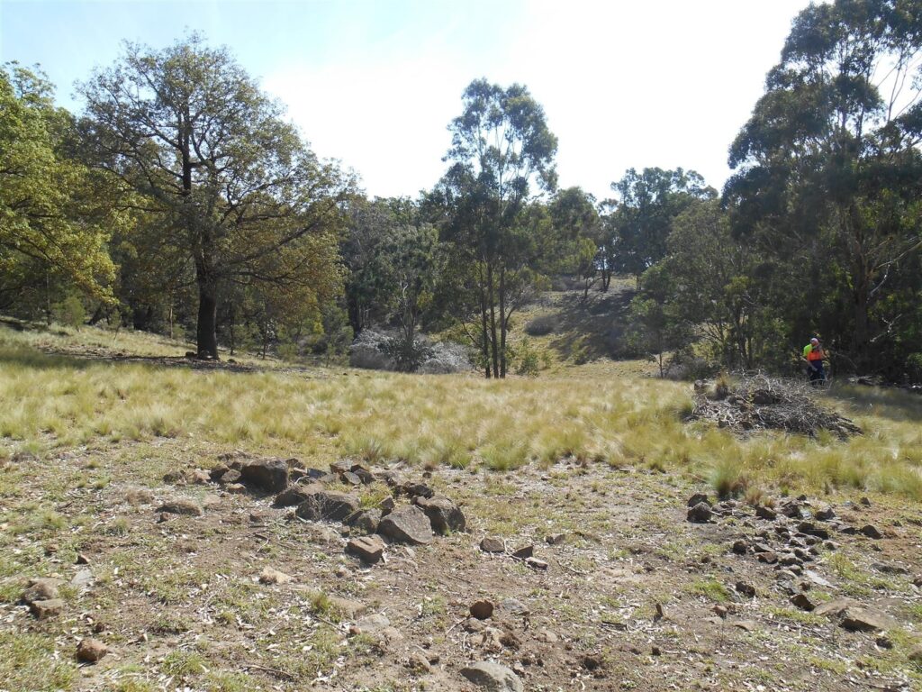
Finally, is this little piece of land. A jumble of rocks, some dead blackberry patches, and what I’m assured is a quince tree. Documentary research and local knowledge tell us that this little patch of land was a camp site. In fact, more like a residence, that was a camp site for people looking to make their fortune in mining and to feed their families and eventually to put a proper roof over their heads.
There is a more house-like structure nearby, in fact a house (or part of one), which is easier to spot. But other areas just look like field clearance at a glance until you look more closely. Then you can see structure, or tracks lined with stones, or artefacts – ceramic, tin cans, glass. Or stone artefacts made of silcrete and chert.
There is information here that is valuable. For what? Research? What kind of research? I don’t know – spatial analysis of itinerant camps? Or permanent camps that people lived in with their husbands, their wives and their children? Their cow and maybe a vehicle?
This landscape is one of a small handful in the local area, all there for the same reason, and with little topsoil to hold much deposit. It might not deliver much in terms of archaeological contexts but I’m sure that if we look at it as a horizontal landscape, we might be able to learn some things.
The good news about this area is that it won’t be destroyed. But it will be closed off for another 30 years. We’ve been lucky enough to have a client who understands why there is a certain group of people who see value in these rocks on the ground. I’ve managed to convince them that all these little living spaces and the routes between them are worthy of recording with topographic survey and photographically. Some of the bits and pieces are so scattered, it’s difficult to tell what they could have been. If at the very least, the plans are made available to other researches who can compare them to other such sites and make some sense of how and why the countryside was used the way it was. How did the woman and her husband and their three, four, five children live here?
What I hope to do is convince more clients to record sites that are not going to be destroyed, that might not even reach the threshold for significance on their own, to record and lodge to make the data available to other researchers. And that way maybe they won’t become forgotten landscapes.